


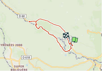

13.3 km | 19.3 km-effort


User


FREE GPS app for hiking
 SityTrail
IGN / Geographical institutes
SityTrail World
The world is yours!
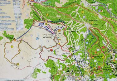
Trail of 7.3 km to be discovered at Occitania, Pyrénées-Orientales, La Llagonne. This trail is proposed by fb30.
Petite balade sympa au bord de la rivière


Walking

Snowshoes

Walking

Walking

Mountain bike

Walking

Walking
Walking

Walking